
Costa Adeje
Readings load in your browser
- Wind
- —
- Gusting
- —
- Temperature
- —
- Visibility
- —
The island model
Explore the published bus network on the relief map, then choose a destination card for its bus answer. Closely spaced destinations appear only in the cards.
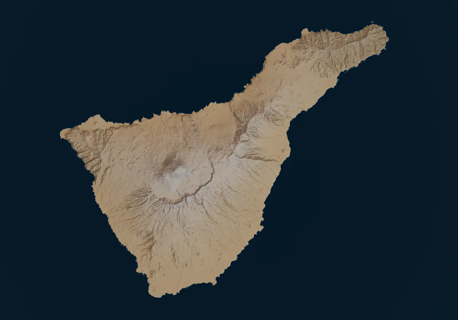
Bus lines on the map
23 places
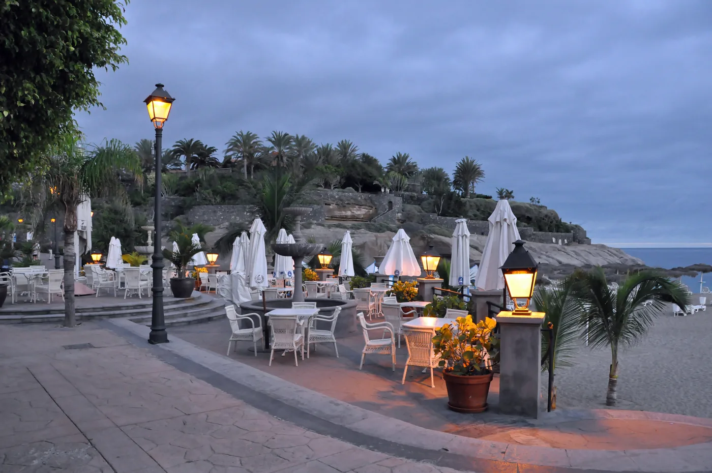
Coast and beaches
Line 40 from Tenerife South Airport, line 342 to Teide, 477 to Los Gigantes, 110 to Santa Cruz. Beaches, whale boats and the south base without a car.
Scheduled service
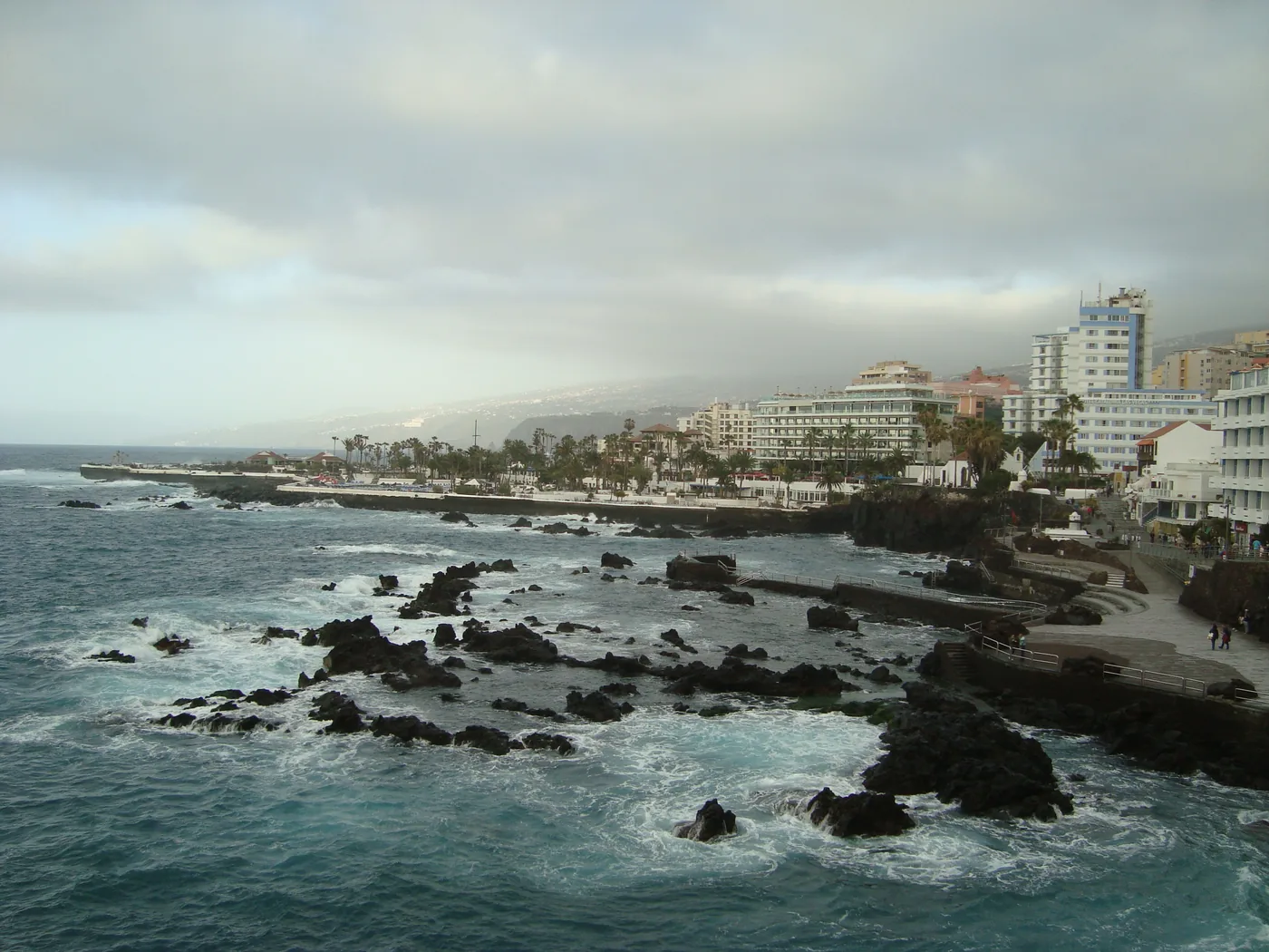
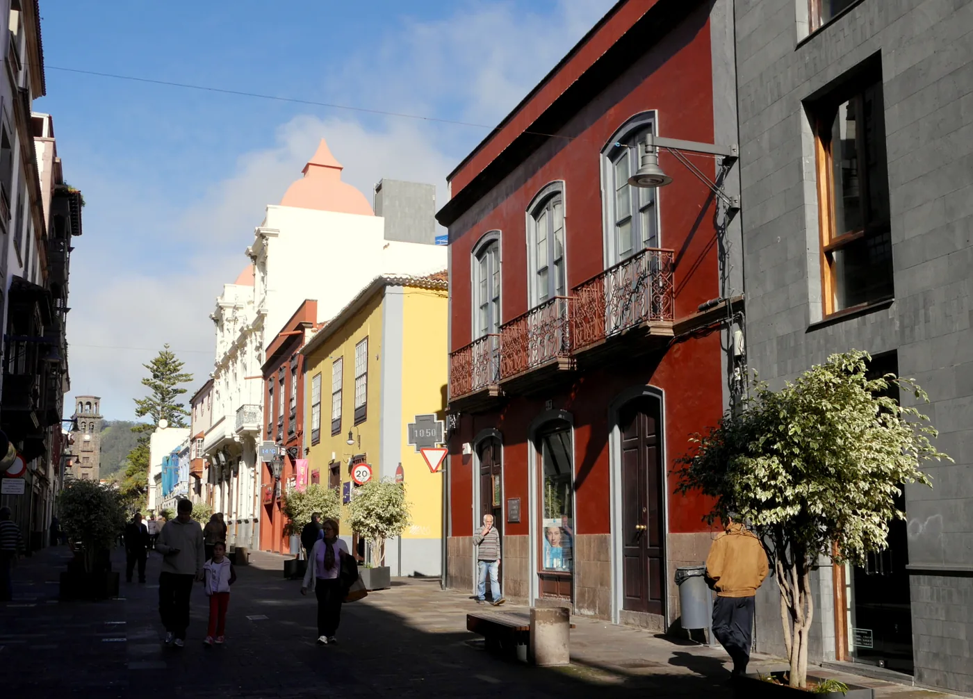
Culture
Line 20 from Tenerife North Airport, line 15 or tram 1 from Santa Cruz. The UNESCO grid on foot, the market, and buses into Anaga and down to the coast.
Scheduled service
Lines on the map
Nature
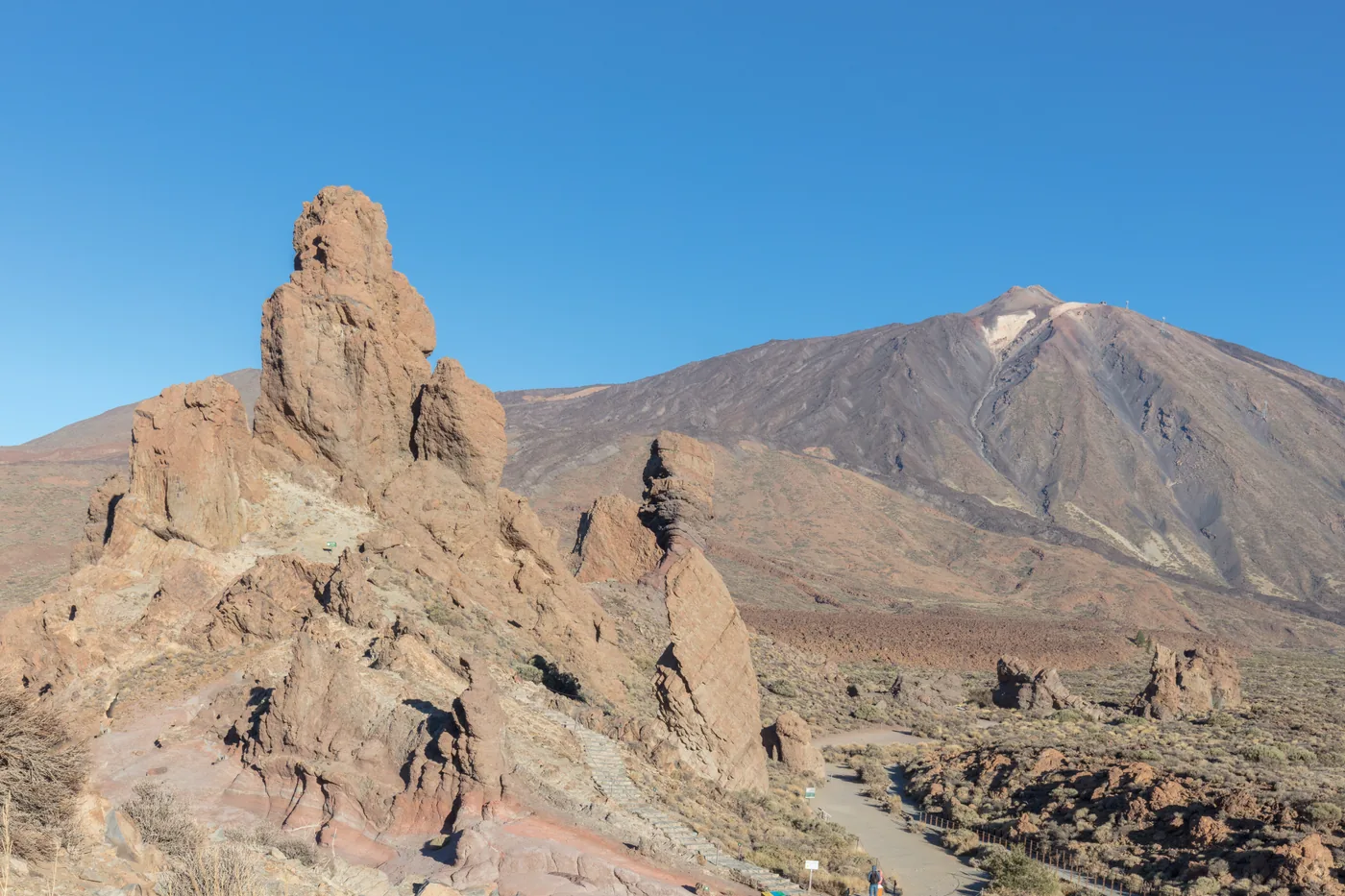
Line 342 from Costa Adeje and 348 from Puerto de la Cruz, one bus up and one down, with the times. Roques de García, the cable car.
Scheduled service
Nature
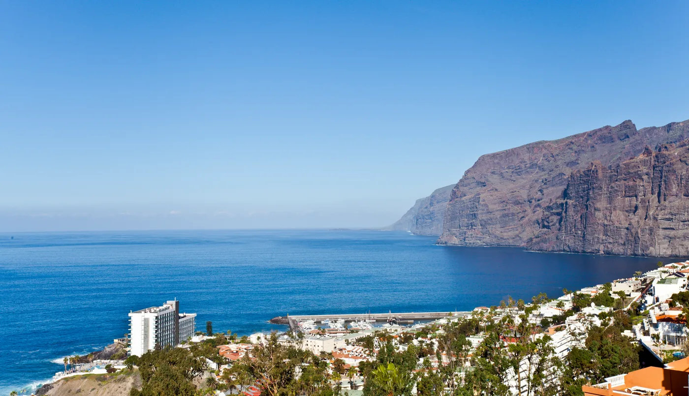
Line 477 along the coast from Costa Adeje, 473 from Los Cristianos, with the times. The 600 m cliffs, the whale-watching port and Playa de La Arena.
Scheduled service
Lines on the map
Nature
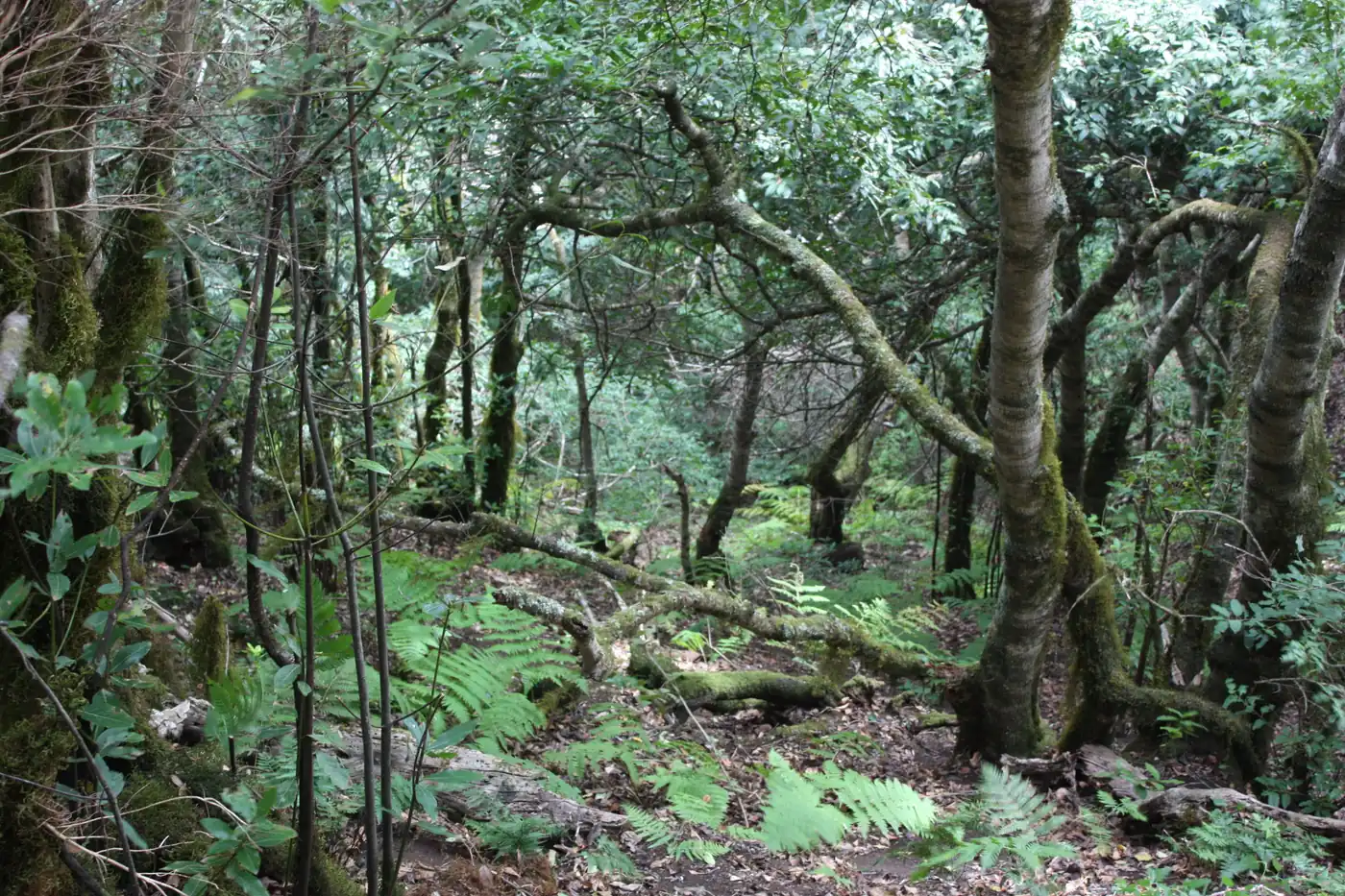
Line 946 from Santa Cruz over El Bailadero to Taganana and Almáciga, with the times. Laurel forest, black-sand beaches, Roque de las Bodegas.
Scheduled service
Lines on the map
Towns
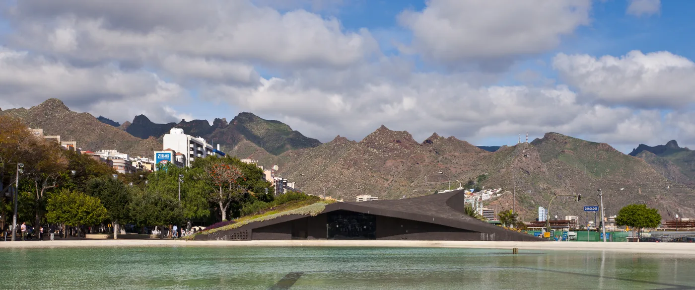
Line 10 from Tenerife South Airport, 20 from Tenerife North, with the times. The Intercambiador, the market, the Rambla sculptures.
Scheduled service
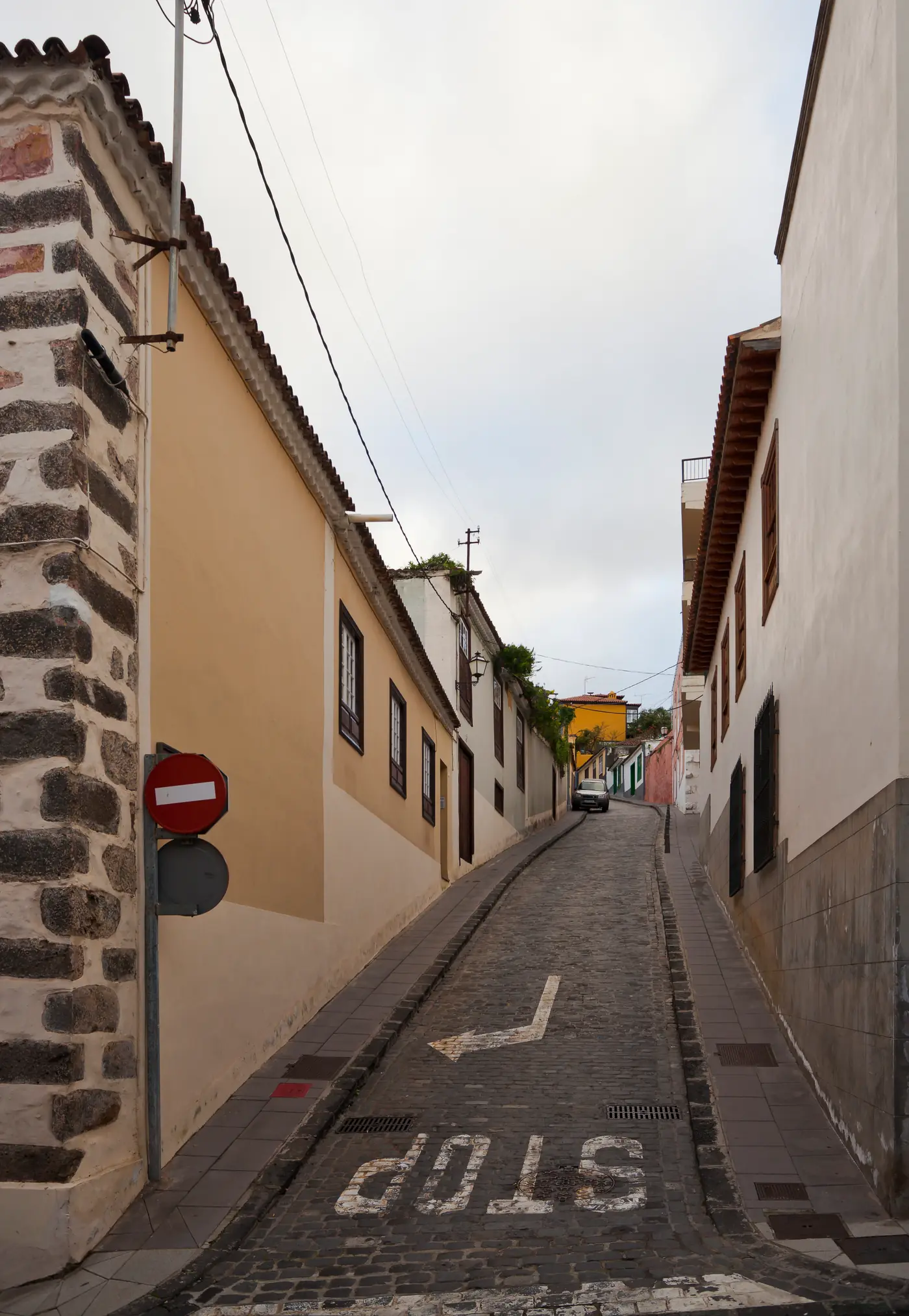
Towns
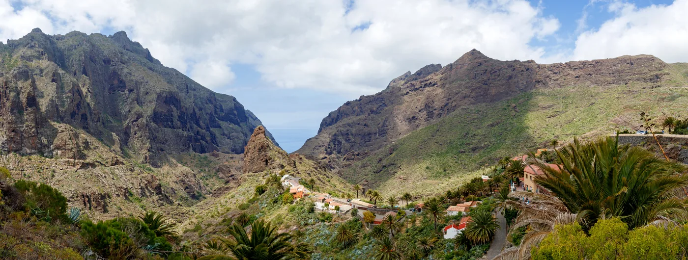
Line 345 from Puerto de la Cruz station; the Teide bus 348 calls on its way up. Casa de los Balcones, Victoria Gardens and the Corpus Christi carpets.
Scheduled service
Lines on the map
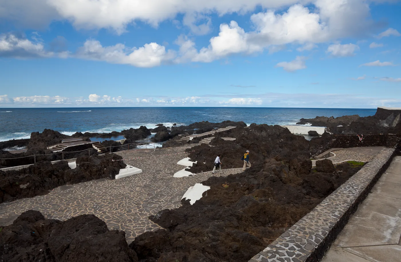
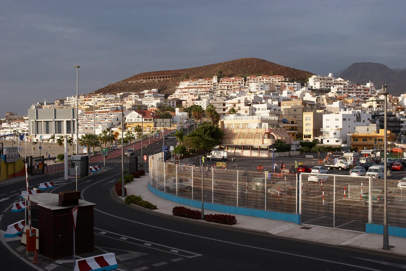
Coast and beaches
Line 40 from Tenerife South Airport, 112 from Santa Cruz, night line 711, with the times. The calm town beach, Las Vistas.
Scheduled service
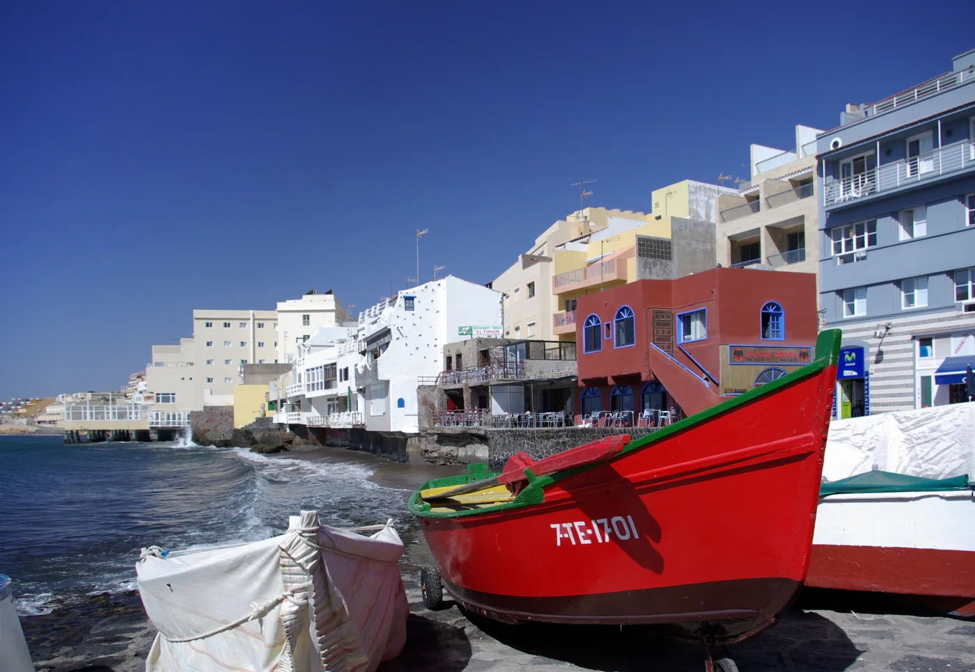
Culture
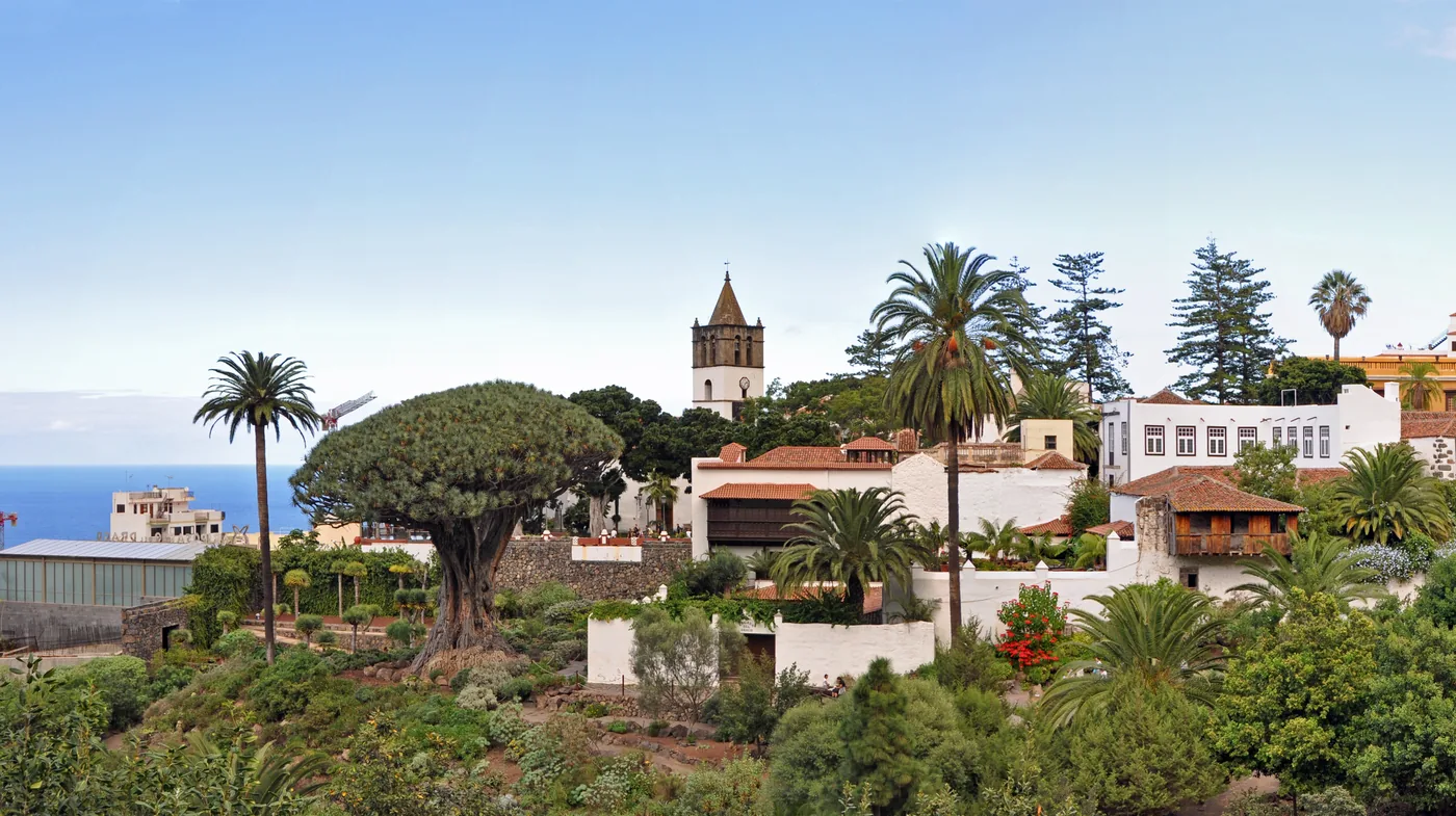
Lines 363 and 325 from Puerto de la Cruz, 460 and 464 from Costa Adeje, 106 from Santa Cruz. The Drago Milenario, the old town and San Marcos cove.
Scheduled service
Lines on the map
Culture
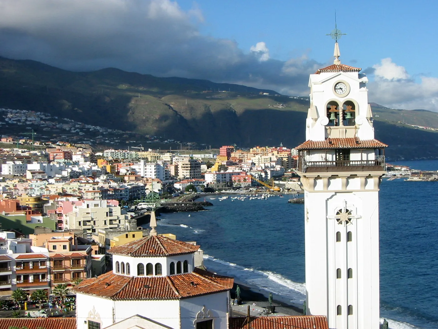
Lines 120 and 122 from Santa Cruz Intercambiador to Plaza de Teror. The basilica of the patron of the Canaries, the bronze menceyes.
Scheduled service
Coast and beaches
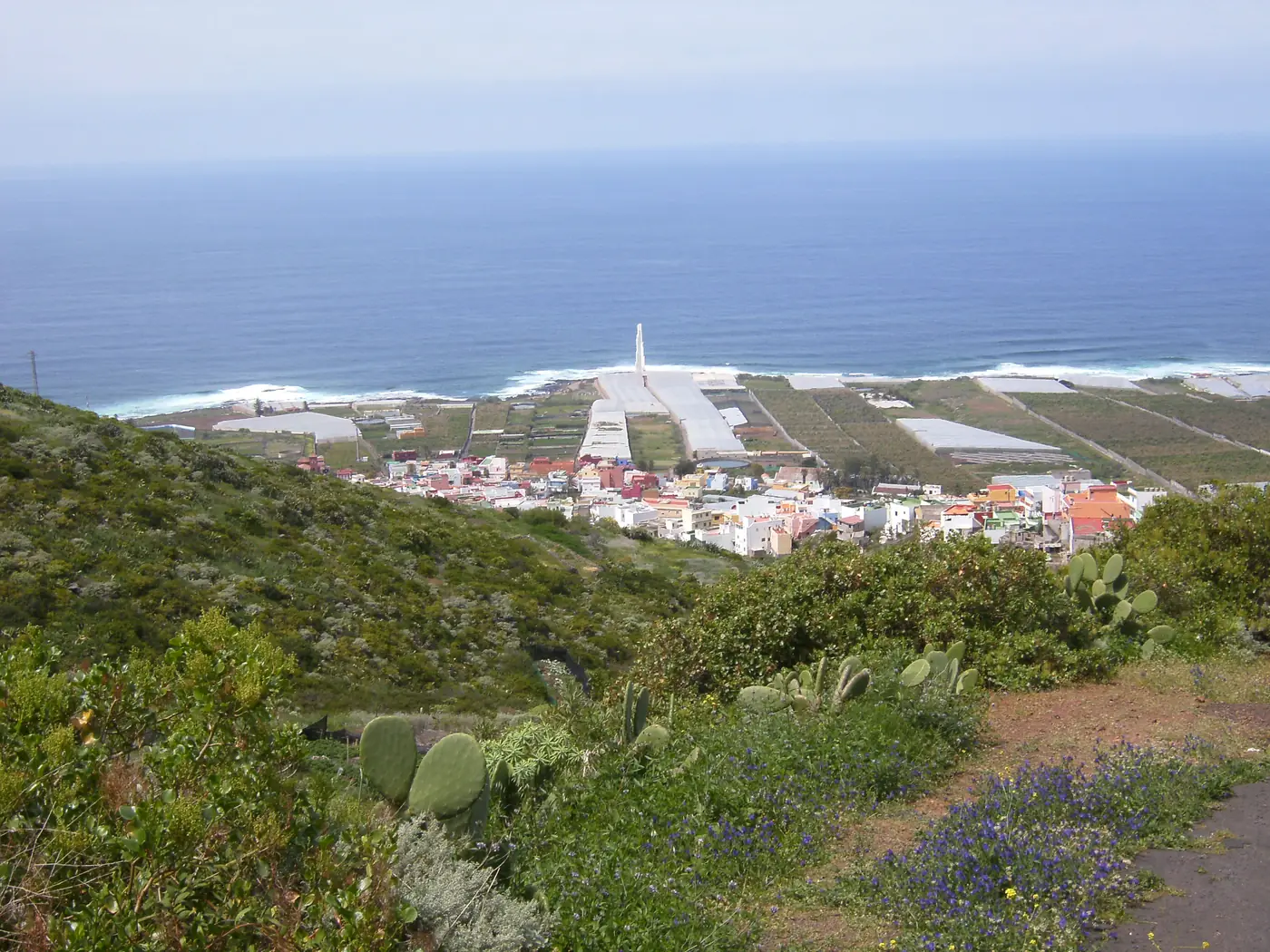
Line 50 from La Laguna via Tegueste, Tejina and Bajamar, with the times. Blue Flag natural pools, lifeguards and the PR-TF 10 trail down from Anaga.
Scheduled service
Lines on the map
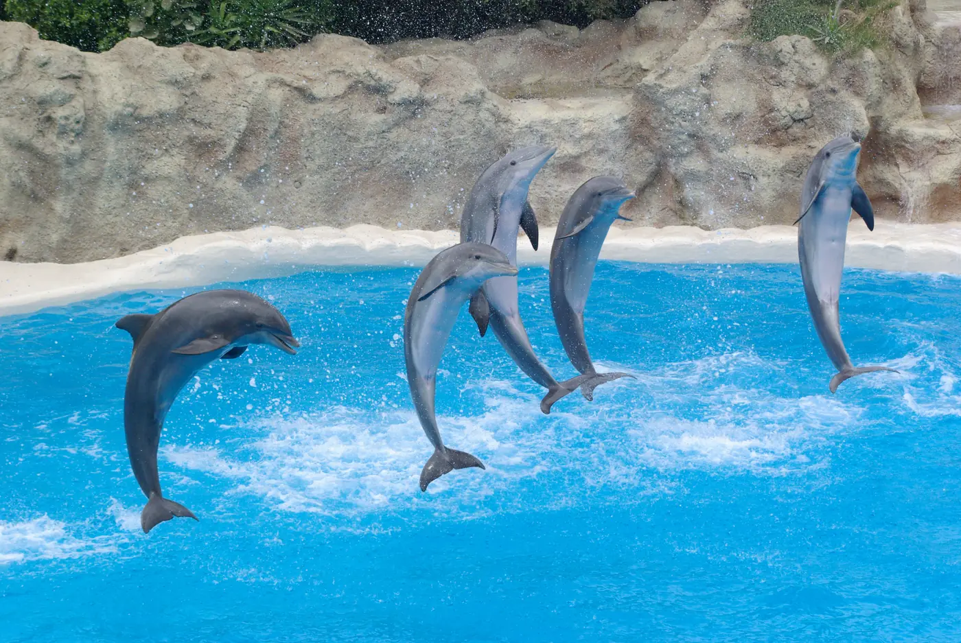
Nature
Line 381 from Plaza Reyes Católicos in Puerto de la Cruz to Punta Brava. 40,000 animals, Coral Kingdom, and the honest three-bus route from the south.
Scheduled service
Lines on the map
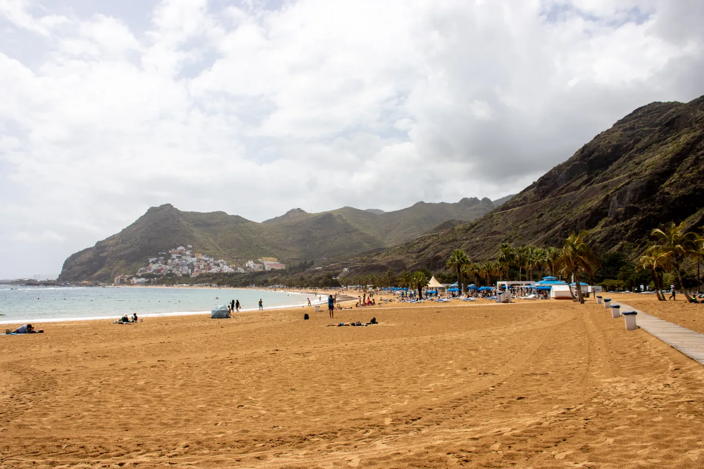
Coast and beaches
Line 910 from Santa Cruz Intercambiador to San Andrés every day. The golden beach behind its breakwaters, lifeguards, the fishermen’s guild.
Scheduled service
Lines on the map
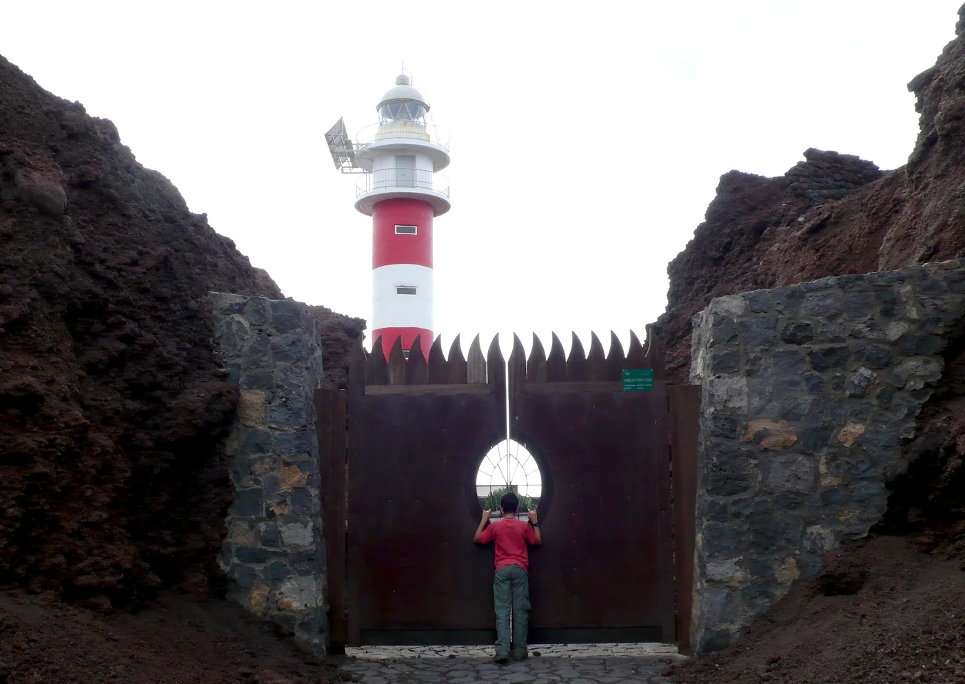
Nature
Line 369 from Buenavista, the bus in when cars are kept out; line 363 from Puerto de la Cruz to Buenavista. The lighthouse, the Los Gigantes view.
Scheduled service
Lines on the map
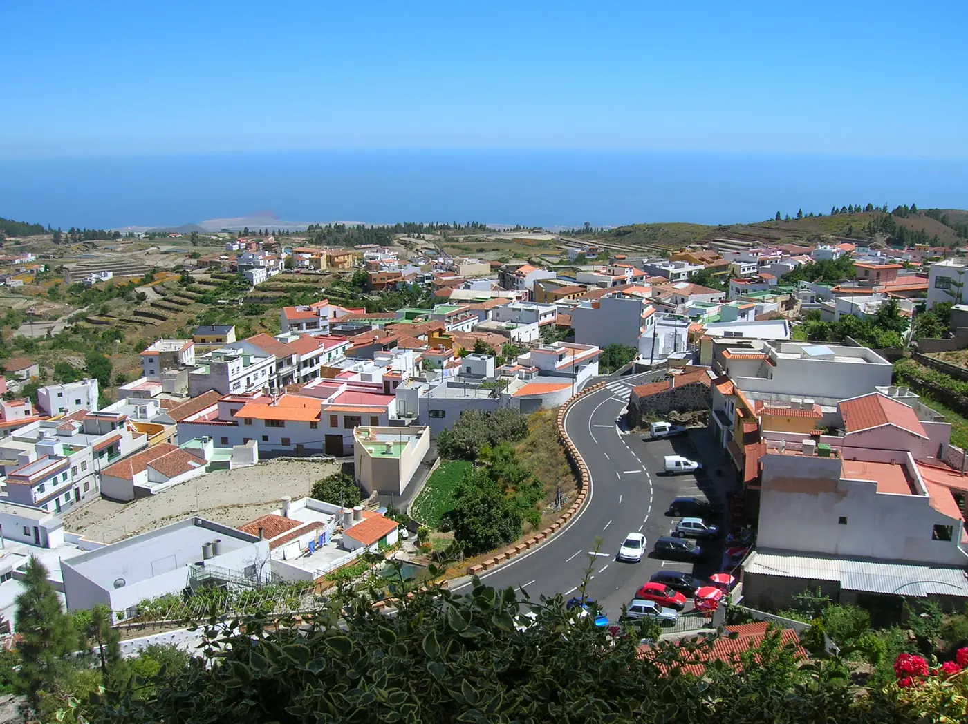
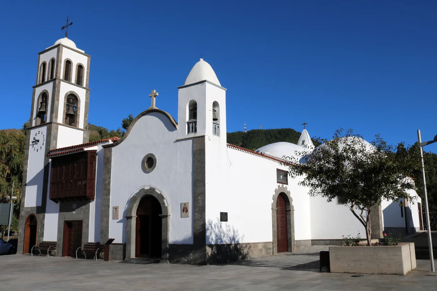
Towns
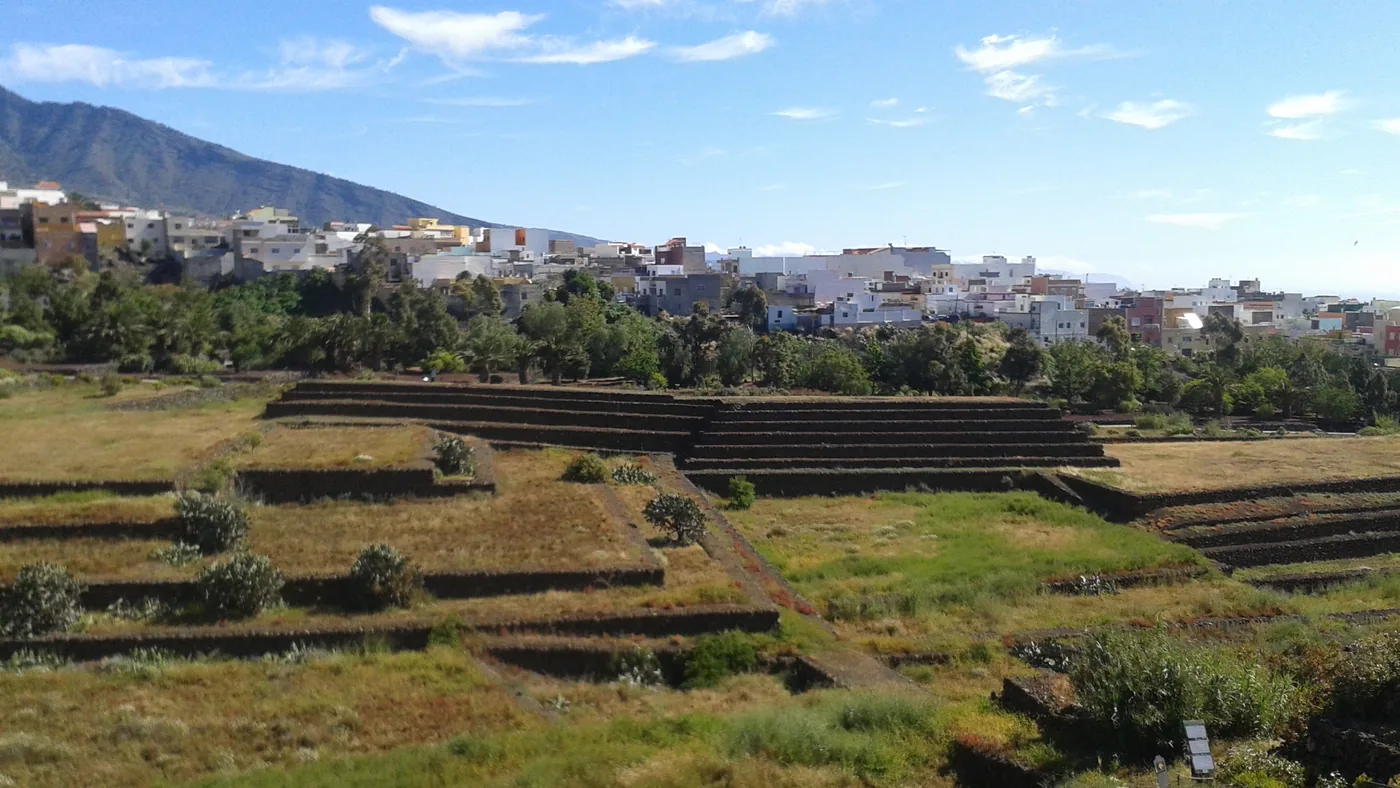
Lines 460 and 464 from Costa Adeje, 325 from Puerto de la Cruz, 355 on to Masca. Chinyero, the Arguayo pottery and the trail down to Puerto Santiago.
Scheduled service
Lines on the map
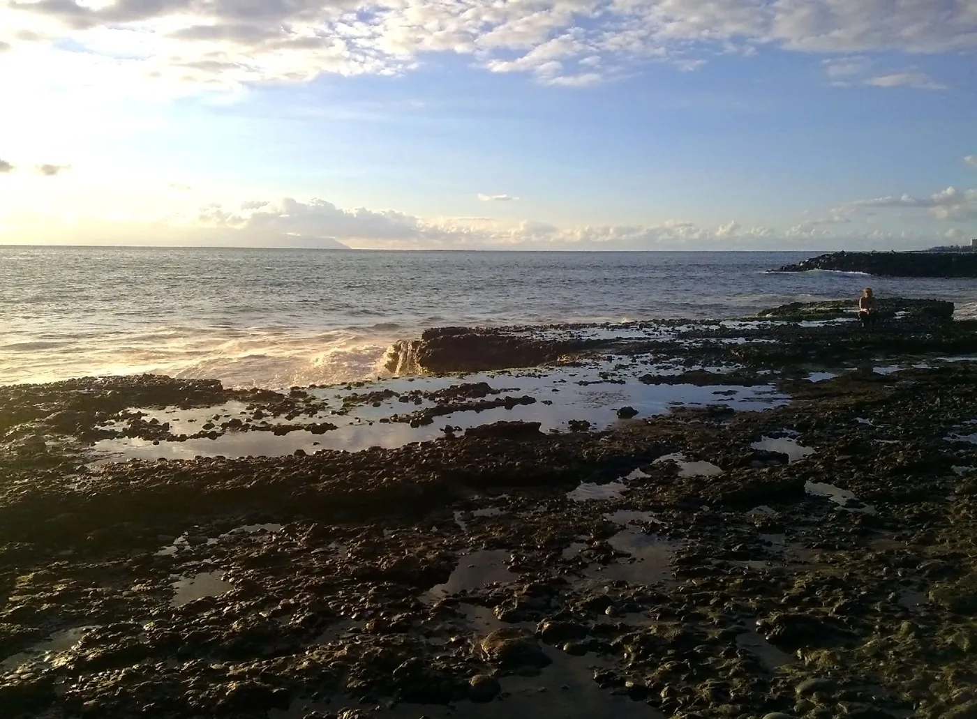
Coast and beaches
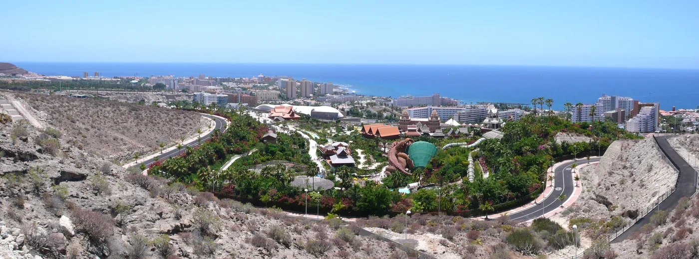
Plan Playa de las Américas on TITSA line 424 from Los Cristianos: beaches, a seafront walk, and how to find your stop and check your return.
Scheduled service
Lines on the map
At a glance
21
Bus links drawn on the map
Counted from this guide’s own map: each link is a TITSA line, or tram line 1 (Metrotenerife), that one of this guide’s pages publishes. Dotted: lines 343 and 369, a limited or weather-dependent service. Counted on 19 October 2026.
Source: Tenerife BusThis guide’s journey guides (counted on its map)
21 / 23
Places with a drawn bus link
Counted from this guide’s schematic. Closely spaced destinations can remain off the map; their pages carry the published route details. Counted on 19 October 2026.
Source: Tenerife BusThis guide’s journey guides (counted on its map)
2
Airports, each with its own buses
Tenerife South (TFS) and Tenerife North (TFN), on opposite sides of the island.
Source: AenaTenerife South Airport bus accessTenerife North Airport bus access
3,706 m
Highest ground in the elevation model
The highest point of the map’s relief, resampled from Copernicus DEM GLO-30 when it was rendered on 5 October 2026.
Source: Copernicus (European Union and ESA)Copernicus DEM GLO-30 on the Registry of Open Data on AWS
Before you set out
Current readings from Open-Meteo at four places this guide covers. They are measurements, not a statement about any bus or boat.
Readings load in your browser
Readings load in your browser
Readings load in your browser
Readings load in your browser
Live readings are unavailable right now. The guidance below does not depend on them.
Readings are measurements from Open-Meteo. Whether a bus or a boat trip runs is for TITSA and the boat’s operator to say, not this panel.